According to meteorologist Leonardo De Benedictis from Meteored, accumulations of up to 50 millimeters of rain are expected in several regions of Argentina, with the most active period occurring between Saturday night and early Sunday morning. De Benedictis warns that this frontal system will move towards the north and east of the province of Buenos Aires during Sunday, and between Monday and Wednesday, more rain and storms are expected in the center of the country, particularly in Córdoba, Santa Fe, and Entre Ríos, establishing an unstable weather pattern for the start of the week.
The long weekend comes to an end with a complex meteorological outlook in much of the country, with three regions under simultaneous alerts for persistent rain, strong storms, and snowfall. One of the most affected areas is the northern Patagonian mountain range, with moderate to heavy precipitation in Neuquén, Río Negro, and northern Chubut since early Saturday morning. Although thunderstorms are not expected, these conditions could lead to urban complications.
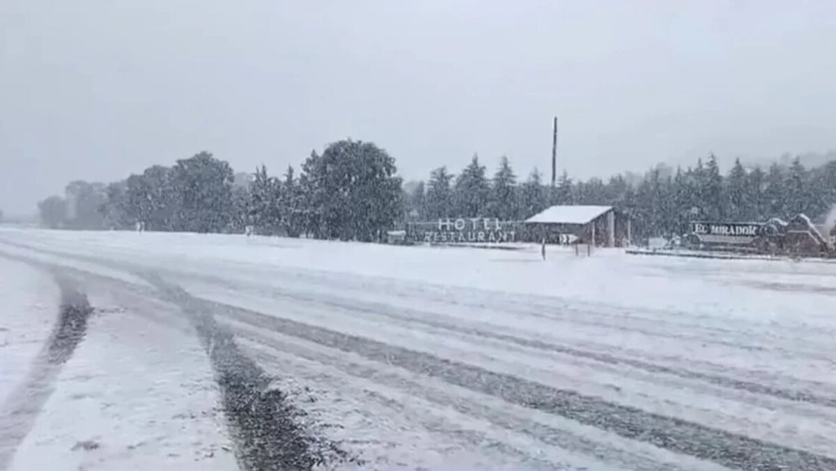
On the other hand, in the southwest of the Pampas region, covering part of the southwest of Buenos Aires and the southeast of La Pampa, moderate snowfall is expected with strong winds in higher altitude areas. Accumulations of between 15 and 30 millimeters, with localized higher peaks, are forecasted. Simultaneously, in eastern Chubut, along the coastal strip, persistent moderate to heavy rain is predicted, with accumulations between 20 and 30 millimeters, although higher values are not ruled out locally. In this area, storms of varying intensity are expected, some strong, with the possibility of gusts, hail, and intense precipitation over short periods.