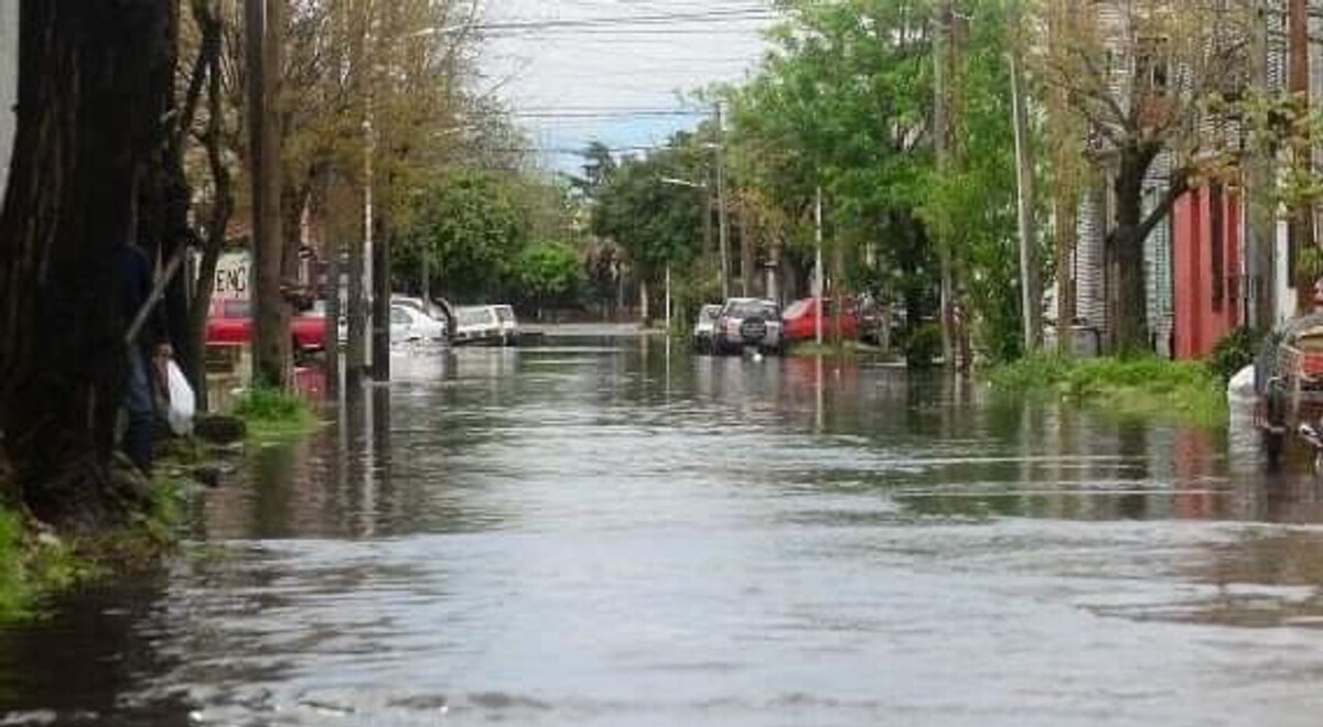
Buenos Aires, January 20, 2026 (NA) - The Water Authority (ADA) of Buenos Aires province has officially approved the Hazard Map for a watershed comprising the San Francisco, Las Piedras, Sarandí, and Santo Domingo streams. This technical tool has once again put the discussion on the agenda for prevention and maintenance works in areas with a history of flooding. Under this scheme, Florencio Varela is mentioned among the municipalities covered by the mapping, in a list that includes six districts of the Greater Buenos Aires area identified with water risk at different points in the drainage system. According to the Argentine News Agency (NA), the publication of the map has reactivated requests to intensify cleaning and sanitation tasks for watercourses, maintenance of storm drains, and planning of works to reduce the impact of heavy rains, especially in neighborhoods with low elevation and proximity to streams. In the district, technical debate often intersects with daily management: informal landfills, obstructions in drains, and the effect of private works or backfills that alter water flow. The key, warn experts, is that the diagnosis translates into sustained investment. In the coming days, the issue is expected to be addressed in local agendas due to the arrival of summer storms and the public's demand for rapid responses during flooding episodes. Specialists consulted by local media highlight that the map allows for prioritizing interventions based on risk criteria. The official survey also serves as input for urban planning and civil prevention decisions, in coordination with municipal and provincial areas.