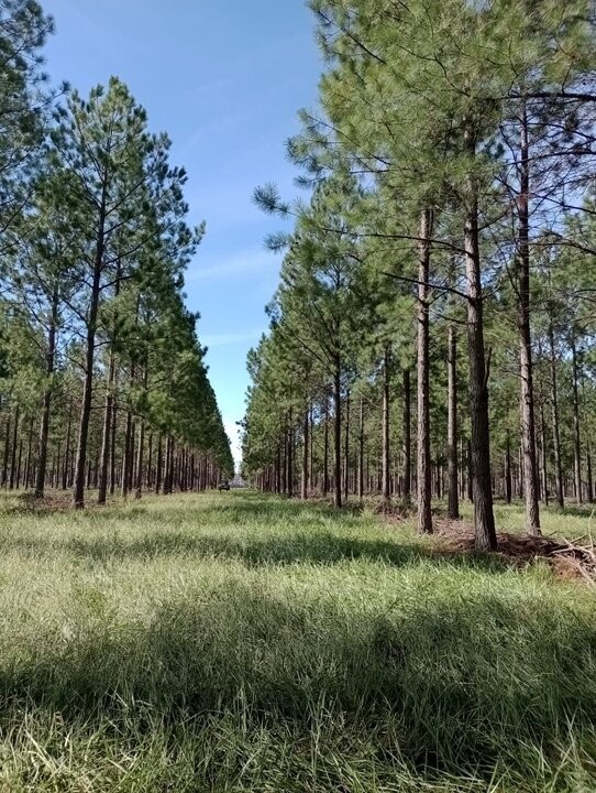
The national government has launched a digital platform for the Territorial Visualization of the forestry sector. It will feature georeferenced data from inventories of a key strategic raw material like pine, to optimize decision-making for industrial and logistics investments.
The tool aims to improve the planning of wood industrialization, according to a statement from the Secretariat of Agriculture accessed by Agencia Noticias Argentinas.
It is a Territorial Visualization Application that allows analyzing, on a cartographic basis, the spatial distribution of forest raw material (pine species), showing the existing surface area by age group within a defined search radius.
The tool addresses three axes for the development of the forest industry: • Dimension of stocks, which involves calculating the wood available in specific areas. • Industrial planning, implies analyzing the supply according to the age of the plantations and their industrial potential. • Logistics and transport optimization, which involves evaluating the availability of raw material based on distances.
«Distribución Espacial de la Materia Prima».